How To Use a Map

Have we become too dependent on our technology? Can you find your way around without a GPS or phone app? Our phones have become very helpful tools for navigation. What are your backup plans if we lose power or need to preserve our phone’s battery for emergencies? I have been using maps since before I graduated high school and became really good during my enlistment in the Army. The use of maps has carried over in my current job and while traveling. These are some basics that will help you get around when your phone isn’t an option.
Map Features
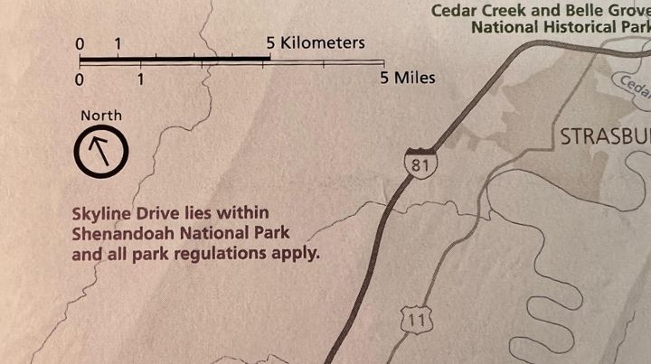
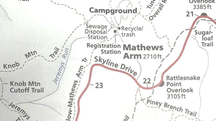
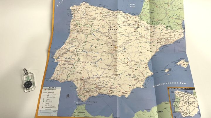
Understanding what info is displayed on your map and how to read it will be critical. Usually, the map has a name describing the location covered with the map. Sometimes it will list adjacent maps or inserts for particular sites on the map. Depending on the type of map, there should be a key or legend with descriptions of the symbols used on the map. For example, how roads or types of roads will be shown – solid double lines for highways and dotted lines for unimproved roads or trails. There should also be a scale depicting how distance on the map relates to distance on the ground. Some standard items found in map keys are colors of features – blue for water, green for wild lands, white for urban or developed terrain, and black for buildings or other man-made structures. Even tourist city maps usually have some kind of key to describe common features on them.
Orientation
If you have a Forest Service or military-style map, it will have a north indicator and sometimes even magnetic declination for when you are utilizing a compass to navigate. If your map doesn’t have any north indicators, most maps are designed with the top of the map being north (unless otherwise indicated). Using this information, you will want to orient the map so that you are holding the map and facing the same direction. You can use a compass or other observation skills to determine which way is north. Here are some quick tips if you don’t have a compass. Remember that the sun rises in the east and sets in the west. You would be facing north if the east was to your right and the west was to your left. In the northern hemisphere, most satellite dishes generally face south. If you have a bit of time, you can use the Shadow Stick method found here. Once we have our maps oriented to the ground (meaning both are pointing in the same direction), we can start to locate key terrain features and begin to navigate.
Navigation
With our maps oriented north, we should be able to look at our maps and identify terrain features that are on our maps and around us. These can be both man-made or naturally occurring features like buildings, structures, water features, or land masses. Using a map in an urban setting should be even easier as we start to recognize street names or at least naming conventions for city streets. Like numbered streets and avenues or a series of streets named after trees or presidents, etc. Using the map oriented the same as the ground we are standing on and locating terrain features we see, and where they are on the map, we should be able to start navigating to our destination. This method is described as terrain association. You find pieces of terrain to guide you along the path to your destination. In the same way, we use street signs along the route we are traveling to find our next turn and eventually get to our destination. You can use a terrain feature at or near your destination to guide off or locate ones along the way or at key turns.
Stay On Course
As you navigate to your destination, you can use the handrail or barrier method to correct your navigation. With this method, you identify one or two barriers to parallel, like roads, waterways, or large linear terrain features. You can use them as a guide by keeping them in sight and on the same side (i.e., off your right shoulder) as you move to the destination. If you run into one of them, you know not to continue past it or that you need to recheck your map. You can plan to move to the barrier and walk along it until you have to turn or change direction to reach your destination. You can use a similar method to keep you from going too far using these very recognizable barriers to identify if you have passed your destination. Using streets as an example, you identify that if you reach 7th street, you have passed the building or business you were trying to find and will need to recheck your map.
With these basics you should be able to utilize a map from a tourist center or rental car company, road atlas, or other map. Remember: identify north, orient your map with the ground, and find terrain along the path to your destination.
Additional Resources:
- Suunto MC-2 Compass: Guide and Review (2023)
- The Top 10 Prepper Skills to PRACTICE Before You Need Them
- Bugging Out on Foot in Winter
- Is It Time to Bug Out? How to Know When to Go
Don't Miss Out!
Join the thousands of people who rely on Mind4Survival preparedness advice by subscribing to our FREE newsletter.
- Practical preparedness information
- Zero Spam
- < 0.25% of people unsubscribe


Join Mind4Survival!
Stay informed by joining the Mind4Survival! 100% Secure! 0% Spam!
Follow Us!
Affiliate Disclosure
Mind4Survival is a free, reader-supported information resource. If you make a purchase through our link, we may, at no cost to you, receive an affiliate commission.
Thank you for this! I’m of a certain age and loved maps when I was growing up. I would pore over them fascinated by the details of places around the world.
I’m completely dismayed that so many younger people don’t know how to read a map. They don’t even know which way is north! They only see their blue dot and have no interest in what is around said blue dot.
A few years ago I was section backpacking in my local mountains. The best way to follow the sections is to pick up a paper map at a kiosk for each section. The maps are very detailed and show backroads, ranger stations, egresses, water sources, etc. I ran into a younger couple on the trail who wanted to go to a spot with a good view. I pulled out my paper map, showed them where we were, and then pointed to a nearby viewpoint on the map.
They just stared at me like I had grown an extra head.
I showed them our location again and pointed along the trail where they needed to go, giving them landmarks to follow. They continued to stare at me and then the guy pointed at some random spot on the map to confirm that this is where they were. Where he pointed was miles from where we were.
I could have been holding the map upside down for all that they were concerned. I pretty much gave up and just told them to bring plenty of water.
They had forgotten water too.
Great subject, Brian. Thank you!